| JPG/GIF Still Photos |
|---|
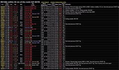 The METAR at 7am showed Dallas pretty well socked in, and Shreveport with a 400 foot overcast. Pretty miserable, but the forecasts showed a much better picture later in the morning.
|
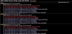 Terminal Area Forecast for Alliance (KAFW) predicts an overcast at 1000 at noon, clearing to scattered at 2500 feet from 2pm until 8pm. I'll be back by then.
|
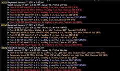 Terminal Area Forecast for Shreveport (KSHV) predicts an overcast of something between 700 and 1500 feet at my arrival time of 2:20 pm. That was close, it was actually 800 feet when I got there.
|
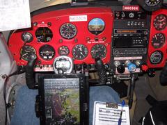 4000 feet, westbound on the DODJE3 arrival, south of DFW, 132 knots ground speed. I am set up to do the ILS 16L approach at Alliance (localizer 110.15), but planning to divert to Northwest Regional airport before long.
|
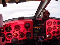 At 4000 MSL on a heading of 280 off the CABBY intersection. KAFW ATIS (126.925) is tuned on the top radio. I'm burning 12.0 gph of fuel at 190 degrees ROP down here.
|
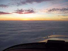 The sun has just set, and I'm at 4,000 feet. I am above a solid overcast about 1000 feet below me. Underneath that overcast is a very wet Dallas Fort Worth metroplex.
|
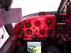 Flying the DODJE3 arrival from Longview to the southern edge of the DFW metroplex. Very shortly they will start giving me radar vectors to Alliance airport.
|
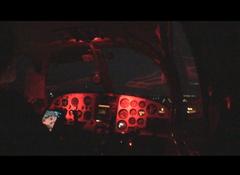 A frame from the video (below). Just about to touch down at Northwest Regional airport (you can see the runway lights just to the top right of the instrument panel
|
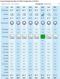 When I pulled the AccuWeather forecast for Shreveport at 7am, it was pretty aggressive, showing a 500 foot overcast at 4pm. However, the reality was different, as I actually had 800 to 1200 foot overcast at 4pm when I took off to head home.
|
 Everybody knows the shortest distance between two points is a straight line. Unless you're the FAA. They prefer to send you to the north around DFW going east-bound, and to the south around DFW going west-bound. For clarification, I started out where you see the stick pins just to the left of the words 'Flower Mound', flew up toward Denton, and then headed east to Shreveport. On the way back, I overflew Longview and Ennis.
|


