| JPG/GIF Still Photos |
|---|
 23Oct06 Canyons S of Childress - 1.jpg
|
 23Oct06 Canyons S of Childress - 2.jpg
|
 23Oct06 Canyons S of Childress - 3.jpg
|
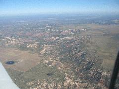 23Oct06 Canyons S of Childress - 4.jpg
|
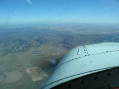 23Oct06 Canyons S of Childress - 5.jpg
|
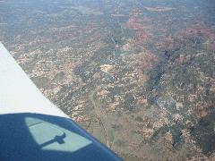 23Oct06 Canyons S of Childress - 6.jpg
|
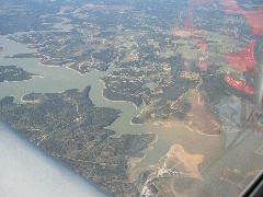 23Oct06 Lake Bridgeport TX - 2.jpg
|
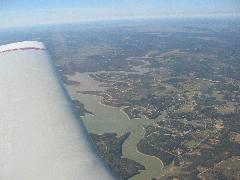 23Oct06 Lake Bridgeport TX - 3.jpg
|
 23Oct06 NE of Plainview.jpg
|
 23Oct06 Unidentied airport N of Olney.jpg
|
 ABQ - Dave.JPG
|
 ABQ - Final 22 KAEG.jpg
|
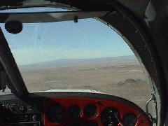 ABQ - J Hill.jpg
|
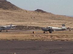 ABQ - N6030X at KAEG.jpg
|
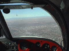 ABQ - NE Heights.jpg
|
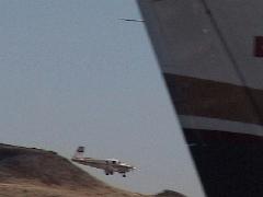 ABQ - Short Final 22 KAEG - Ground.jpg
|
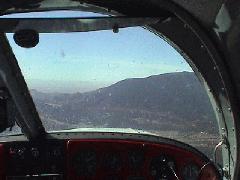 ABQ - Tijeras 1.jpg
|
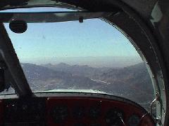 ABQ - Tijeras 2.jpg
|
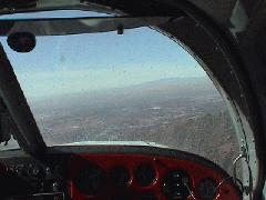 ABQ - Tijeras 3.jpg
|
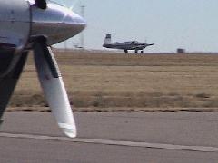 ABQ - TO at KAEG.jpg
|
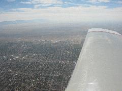 ABQ Sunport.jpg
|
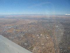 Albuquerque Sunport.jpg
|
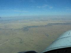 Fort Sumner NM Windmills - 1.jpg
|
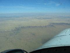 Fort Sumner NM Windmills - 2.jpg
|
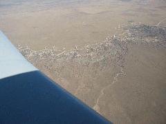 Fort Sumner NM Windmills - 3.jpg
|
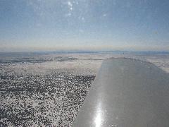 Eastern New Mexico, Dec 2007
|
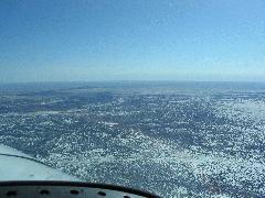 Eastern New Mexico, Dec 2007
|
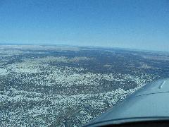 Eastern New Mexico, Dec 2007
|
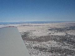 Eastern New Mexico, Dec 2007
|
 Eastern New Mexico, Dec 2007
|
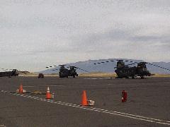 PA290041.JPG
|
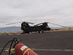 PA290042.JPG
|
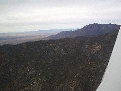 PA290049.JPG
|
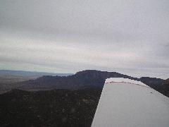 PA290050.JPG
|
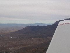 PA290051.JPG
|
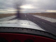 PA290059.JPG
|
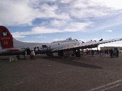 PB110014.JPG
|
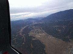 Sandias - East side.JPG
|
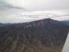 Sandias - North tip.JPG
|
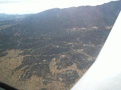 Sandias - Northeast woods.JPG
|
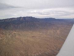 Sandias - Northwest side.JPG
|
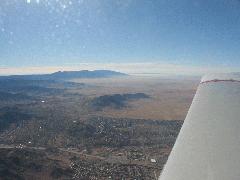 Sandias - South end and Manzanos.jpg
|
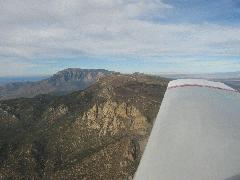 Sandias - South End at 9500ft.jpg
|
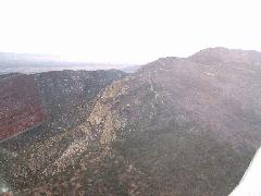 Sandias - South end.JPG
|
 Sandias - South peak.JPG
|
 Sandias - Southwest side.jpg
|


