| JPG/GIF Still Photos |
|---|
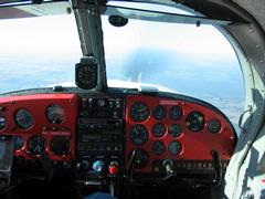
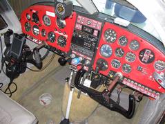 The well-appointed cockpit of 2008 in a 1960 airplane. You can see 2 of the 5 GPSes I normally have in flight. One GPS sits on the right side glareshield and talks to the HP Windows Mobile PDA on the yoke. Another one is in the Garmin GX-60 IFR-certified GPS/Comm in the center stack. Not visible here are my Spot Messenger, the APRS tracking device, and my ATT Tilt smartphone that is also running an emergency backup copy of AnywhereMap.
|
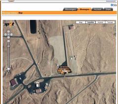 A reminder of the small inaccuracy of GPS signals. I'm parked at UT25 in Monument Valley, Utah, eating lunch at the building you see at the South edge of the photo. Notice that the 10 minute interval tracks creep around in a small area around my actual location.
|
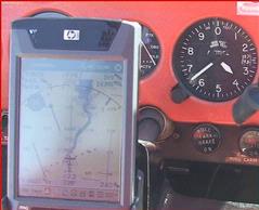 The GPS reads 14,398 feet. The Altimeter says 13,645. They are based on entirely different concepts of altitude measurement.
|
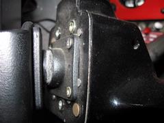 Closeup of swivel ball on ProClip yoke mount for the iPaq 4705. Notice the yoke has 4 holes drilled and tapped in a standard AMPS hole pattern, so that it can support a variety of different mounting mechanisms.
|
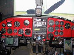 Old photo of the very first trial installation of HP iPAQ 4705 with NavAir software, Holux GR-231 Bluetooth GPS, and WxWorx XM Weather receiver on the right side, Garmin GPS 196 on the left. In smooth air, I prefer the ease of use of the touchscreen on the Windows Mobile device. But in rough air, it is easier to manipulate buttons than a touchscreen.
|
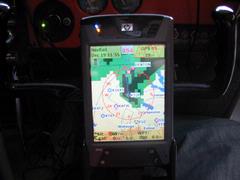 The 4inch 640x480 VGA color TFT screen is very readable in all light conditions. (This display is the AirGator NavAir software that I am no longer using)
|
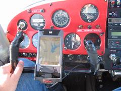 After a successful trial, the iPAQ is now installed permanently on the pilot's side, using a ProClip yoke mount with an adjustment ball
|
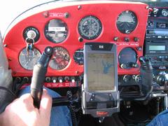 IMG_2187.jpg
|
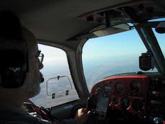
 The tiny XM weather antenna is on the left side of glare shield, Bluetooth GPS on the right side
|
 IMG_2190.jpg
|
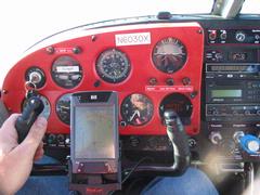 I am now using AnywhereMap Wx on the HP iPaq 4705 PDA running Windows Mobile, and it works fantastically! To the right you can see the panel-mounted old Apollo 820 LORAN I used to have in the cockpit.
|
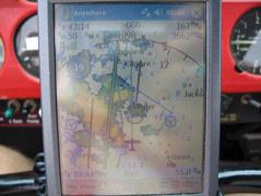 Here I have deviated from the direct route (the bold line) and am using the XM Weather to fly a rain-free path around Tyler on the way to Longview. This is one of the 6 customized Views, and in this view you can also see towers and the green circles that show airports reachable by engine-out best glide
|
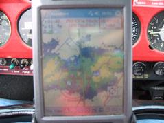 This is what light to moderate rain looks like near Evansville, Indiana. I know, because I just flew through it and scrolled the display backward to take this photo for future reference. The boundaries were exactly where NEXRAD said they would be.
|
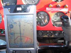 Notice the 34mph tailwind indicated in the circle, and the wind barbs. The total ground speed in the top right of the screens shows 223mph. Astute observers will find 2 pieces of evidence that I could not be cruising in level flight at 8430 feet. (Ignoring the 8265 on the PDA for a moment)
|
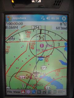 This is a custom view showing my position on the ground at 52F underneath the Class B about a third of the way between Alliance and Denton airports. Note the floors and ceilings and the highway names.
|
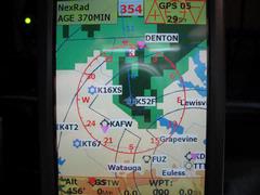 This is the AirGator NavAir display. I flew for a while with it, but found its images clumsy and the user interface rough. I switched to AnywhereMap and have never looked back.
|
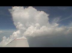 T-storm-Actual.jpg
|
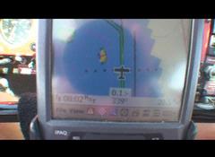 T-storm-XMWeather.jpg
|
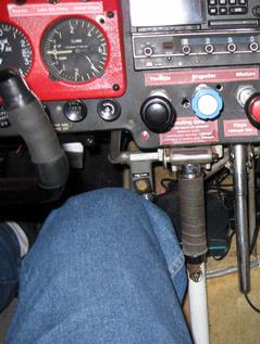 The WxWorx XM Weather receiver is visible to the right of my leg, velcroed to the top of the carpeted gear well
|


