| JPG/GIF Still Photos |
|---|
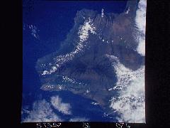 Entire southern half of the Big Island (south is left) shot in 1993 from shuttle mission STS-57
|
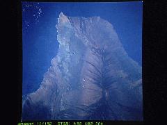 Upside-down shot of southern half of BI. Taken 1993 Sep 15 from altitude of 161 miles on STS-51
|
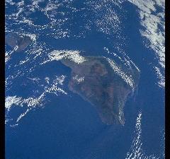 1998 Dec 13 BI from 212 miles STS-88.JPG
|
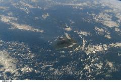 The Big Island generates a wind and water current wake said to be several thousand miles long. You can see it here in this photo taken 2002 Feb 12 from 212 miles up on ISS-4
|
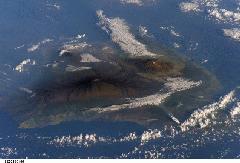 2002 Mar 23 Southeast Big Island, including Mauna Loa and Mauna Kea from 212 miles up in ISS-4
|
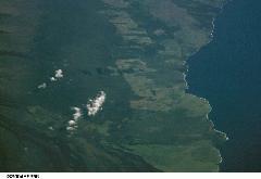 2002 Naalehu region from ISS-4. Discovery Harbor golf course clearly visible lower right
|
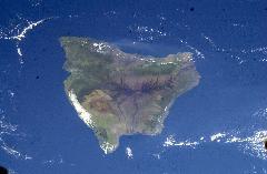 2003 Mar 13 Big Island from 213 miles ISS-6.JPG
|
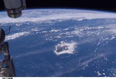 2003 Oct 1 Big Island with cloud ring around entire coast line. Taken from 203 miles height by ISS-7
|
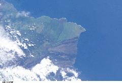 2004 Nov 27 South Point from 190 miles ISS-10.JPG
|
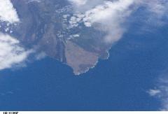 2005 June 12 South Point from 188 miles ISS-11. This and all photos on this page courtesy of Image Science and Analysis Laboratory, NASA-Johnson Space Center. Astronaut Photography of Earth
|
